
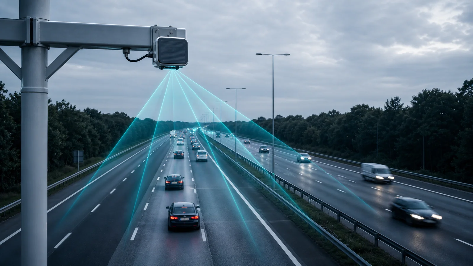
Radar in Traffic Analytics
How radar detects vehicles, measures speed, and triggers cameras for enforcement and monitoring
What is Radar?
Radar (Radio Detection And Ranging) is a sensing technology that emits radio waves and analyses the reflected signal to detect objects, measure their speed, and determine their position — without requiring any visual image of the scene. Radar works in complete darkness, through rain, fog, and dust, and at distances far beyond what cameras can reliably capture.
In traffic analytics and enforcement, radar serves as a detection and measurement layer that works alongside cameras rather than replacing them. The radar detects and measures; the camera captures the evidential image. Together they produce a legally defensible record of a traffic event.
How Radar Measures Vehicle Speed
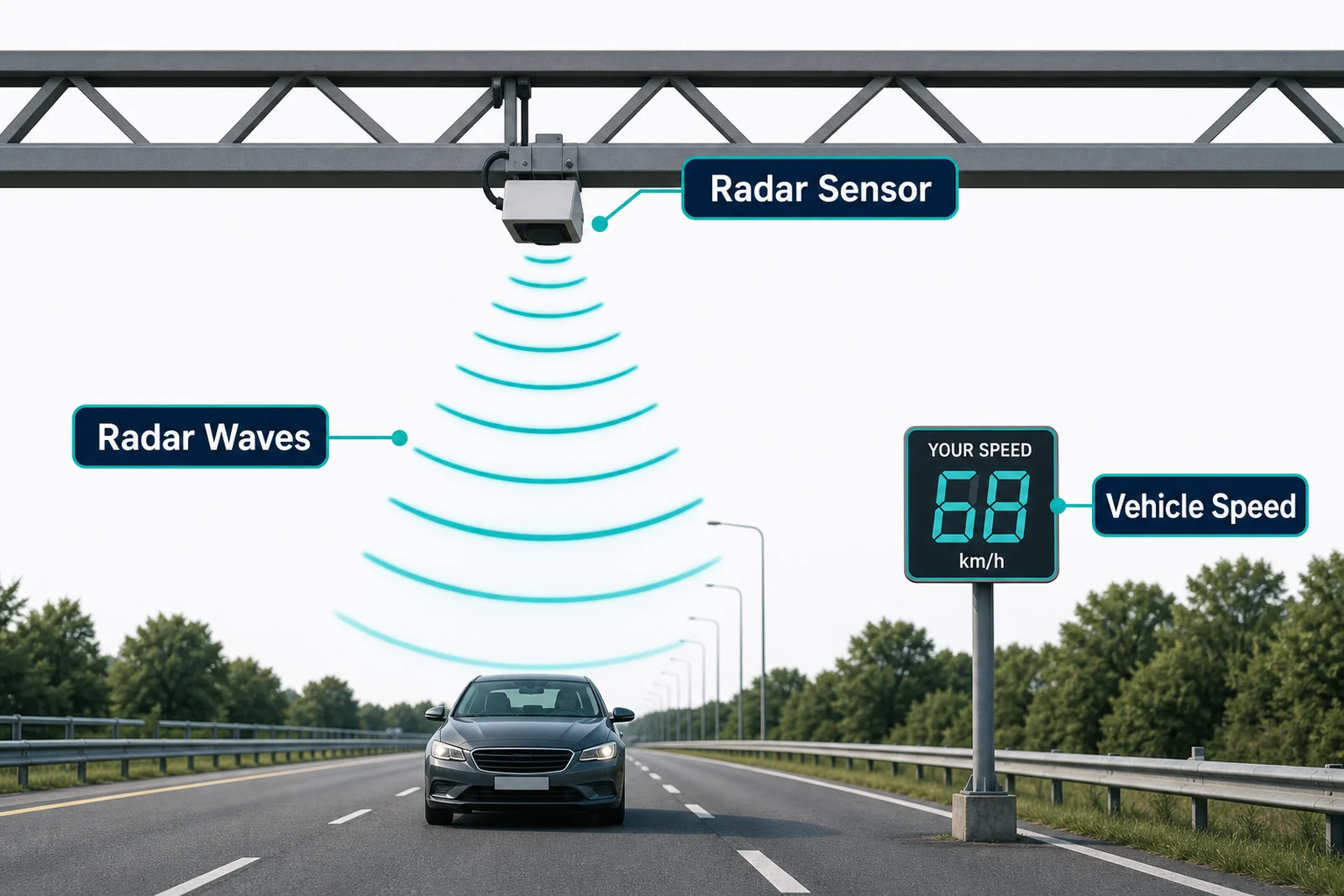
Traffic radar uses the Doppler effect to measure vehicle speed. When a radio wave reflects off a moving object, the frequency of the reflected wave shifts slightly compared to the transmitted wave — higher frequency if the object is approaching, lower if receding. The magnitude of this frequency shift is directly proportional to the speed of the object relative to the radar.
A vehicle travelling at 80 km/h produces a specific, calculable Doppler shift. The radar processor converts this shift to a speed reading, typically accurate to ±1–2 km/h under standard conditions.
Modern traffic radar uses FMCW (Frequency Modulated Continuous Wave) technology, which measures both speed (via Doppler) and range (distance to the vehicle) simultaneously by sweeping the transmitted frequency across a range. This gives a precise position fix — the radar knows not just how fast a vehicle is moving but exactly how far away it is.
Radar as a Camera Trigger
One of the most important uses of radar in traffic enforcement is as a camera trigger. Instead of the camera continuously recording or using video motion detection (which is less reliable at distance and in poor light), the radar watches the road and fires a trigger signal to the camera at the precise moment a vehicle enters the detection zone and meets the capture criteria (e.g. speed above threshold, crossing a defined line).
How triggering works
- Radar continuously scans the detection zone (typically 20–100 m in front of the camera).
- A vehicle enters the zone. The radar detects presence and begins measuring speed.
- When the vehicle reaches the optimal capture point — typically 15–25 m from the camera — the radar sends a trigger pulse to the camera.
- The camera captures a high-resolution still image (or short burst) at the exact moment of the trigger, freezing the vehicle in frame with the plate in the optimal position.
- The radar's measured speed is embedded as metadata alongside the image.
Triggered capture is far more reliable than continuous video for plate reading: the image is captured at the optimal distance and angle, with the plate fully in frame and not motion-blurred.
Speed and Position Data from Radar
Modern FMCW radar provides a rich data stream for each detected vehicle:
- Speed: Instantaneous speed at the moment of detection, in km/h. Meets legal evidence standards when the radar is type-approved and calibrated.
- Distance / range: How far the vehicle is from the radar at the moment of measurement. Used to confirm the vehicle was in the camera's field of view when triggered.
- Direction of travel: Approaching or receding. Bi-directional radar can separately measure vehicles in both directions on a two-way road.
- Lane assignment: Multi-target radar can detect multiple vehicles simultaneously and assign each to a specific lane based on angular position. This is essential for multi-lane enforcement where the correct vehicle must be identified in a congested scene.
- Classification: Some radar systems classify vehicles by size (motorcycle, car, light commercial, heavy goods) based on radar cross-section and speed profile.
Radar Types Used in Traffic Applications
- Doppler CW radar: Measures speed only. No range information. Simple, low-cost. Used for speed feedback signs and basic speed checks where position is not needed.
- FMCW radar: Measures speed and range simultaneously. The standard for enforcement-grade systems. Provides the precise position data needed for camera triggering and legal evidence.
- Pulsed radar: Emits short pulses and measures the time for the echo to return (time of flight = distance). High precision for position. Used in some advanced multi-lane systems.
- Multi-beam / phased array radar: Uses multiple antenna beams to cover wide areas and multiple lanes simultaneously without mechanically moving parts. Tracks multiple vehicles with individual speed and position data per vehicle. Used for multi-lane enforcement and complex intersection monitoring.
Radar Integration in Pixuate Deployments
Pixuate integrates with external radar units via standard interfaces (serial RS-232/RS-485, digital I/O trigger, or Ethernet). The integration provides:
- Speed-triggered capture: Radar triggers the camera only when a vehicle exceeds a configured speed threshold — reducing false captures and storage requirements.
- Speed metadata on violations: The radar-measured speed is embedded in the violation record alongside the camera image and timestamp — creating a complete, evidential event record.
- Position confirmation: FMCW range data confirms the vehicle was at the correct distance when captured — ruling out captures from adjacent vehicles at different ranges.
- Multi-lane operation: Multi-beam radar assigns each detected vehicle to the correct lane, allowing Pixuate to select the correct crop region in a wide-angle camera covering multiple lanes.
Radar is optional in Pixuate deployments — many ANPR and speed monitoring scenarios use video-based speed estimation instead. However, for legally evidential speed enforcement (fixed penalty, prosecution), a type-approved radar is required in most jurisdictions. Contact Pixuate to discuss whether radar is required for your use case.
Setting Up Speed Enforcement or ANPR?
Pixuate can advise on radar selection, camera-radar synchronisation, and the data flow for your enforcement or monitoring deployment.